Wednesday, October 28, 2020

Loop Hike Through Campus, Telegraph and Shattuck

Difficulty:  Moderate, Long climb from West Campus to North Gate

Time: 1 hour

This hike doesn't cover any paths of Berkeley but is an enjoyable walk.  It takes you through the UC campus, along Telegraph Ave, down to Shattuck Ave and then back through the campus.  If you just hike, the loop takes about 1 hour.  But there are many places to browse, shop and eat along the way.

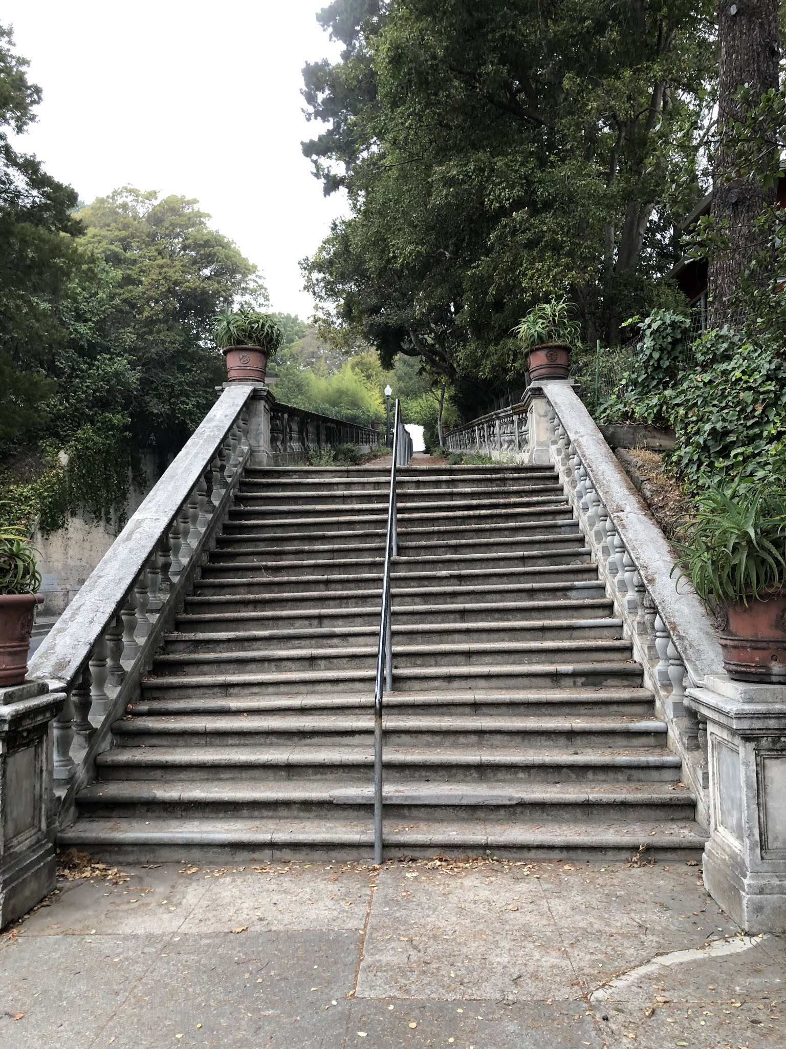
The hike begins at Euclid Ave and Hearst Ave.  If you are driving to the start, park your car 2 or more blocks north of Hearst where there are 2 hour parking zones.  Enter the campus through the North Gate  and head straight along Haviland Path to Memorial Glade which faces Doe Memorial Library.

North Gate

Memorial Glade


Walk across the glade, or follow University Dr around to the left, taking you to the Campanile.    

Campanile

Continue on to the right on South Dr past Wheeler Hall.  Note the interesting tree on the left across from Wheeler.  

Tree Across From Wheeler Hall

Continue on to the left, passing through Sather Gate, on to Telegraph Ave.

Sather gate

Head south on Telegraph where you can browse the shops or get something to eat.  At one point the block between Haste St and Dwight Way housed 3 book stores, 2 coffee houses, a pool hall and several diners.  Moe’s Books is still there but all the others are long gone.  

At one time, the north east corner of Telegraph and Haste had a large transient hotel.  It burned down in the 80s and had remained vacant for many years.  Recently, the new Enclave student housing was built on the site.  It is quite a unique building.

Enclave Student Housing

Turn right on Dwight Way and go 4 blocks to Shattuck Ave.  Turn right and go through downtown Berkeley.  If you’re looking for a book,  good stops are the Central Library on Kitteredge St, Pegasus Books by Durant Ave and Half Price Books by Addison St.  

When you get to Center St, turn right and head back to the campus.  The block on Center between Shattuck and Oxford has many small diners serving a wide variety of ethnic foods.   There are many paths to get back to the North Gate.  Go straight when you enter the campus, past the bronze Rotante Dal Foro Centrale donut shaped sculpture.  

Rotante Dal Foro Centrale

Then angle to the left through Eucalyptus Grove.  Keep following roads or paths in the uphill, north east direction until you get back to Memorial Glade. Go left for a short uphill climb back through the North Gate and to the starting point at Euclid and Hearst


Thursday, October 15, 2020

Three Sections of Easter Way

Difficulty: Hard. 3 sections of Easter Way all uphill

Time: 1 hour

Start at Marin Ave and Hilldale Ave heading south on Hilldale to Poppy Lane.  Turn left and take Pinnacle Path on the right downhill to Regal Rd.  

Pinnacle path

Go left a short way and turn left on Cragmont Ave.  Follow Cragmont until you reach Upper El Mirador Path on the right.  

Upper El Mirador path

Take this downhill (140 steps) to Keith Ave. Go right on Keith for a few feet and continue downhill (73 steps) on Lower El Mirador Path to Euclid Ave.  

Lower El Mirador Path

Turn left and continue until you reach Oak Street Path on the west side of Euclid.  

Start of Oak Street Path

End of Oak Street Path

Take this short path which includes a 40 step uphill climb to Laurel St.   Turn left, take Laurel to Eunice Ave and turn right.  Take Eunice downhill to Spruce St and turn right.  Go three blocks and just past Santa Barbara Rd take Lower Easter Way uphill (63 steps) to Cragmont Ave.

Lower Easter Way


Cross Cragmont and continue uphill on Middle Easter Way (36 steps plus long ramp) to Euclid Ave. 

Middle Easter Way

Cross Euclid and a few feet to the left take Upper Easter Way uphill (long ramp) to the junction of Regal Rd and Hilldale Ave.  

Upper Easter Way


Take Hilldale uphill past Poppy Ln and Forest Ln back to the starting point at Marin.


Thursday, October 8, 2020

Ye Olde School Path

Difficulty:  Easy to Hard based on which route option taken

Time: ½ hour to 2 hours based on route option


There are 3 hikes in this post, varying on where you start and where you end.  The LONG HIKE takes about 2 hours, The MEDIUM HIKE about 1 1/4 hours and the SHORT HIKE aboutn 1/2 hour.  I indicate starting and ending points for each of the 3 hikes.

For the LONG HIKE, start at Marin Ave and Hilldale Ave, heading north on Hilldale.  When you get to Grizzly Peak Blvd, turn left and head to the Summit Reservoir at the junction of Spruce and Grizzly.  For the MEDIUM HIKE and SHORT HIKE, you can start Spruce and Grizzly.  

Summit Reservoir

Continue north on Grizzly past the reservoir until you come to the end at Kenyon Ave.  This is the start of Ye Olde School Path.  Follow this scenic dirt path, with views of Tilden Park on your right, until it merges with Ye Olde School Trail.  Continue on the path until you reach Kensington Hilltop Elementary School.  NOTE:  For the SHORT HIKE, just go back on the path to the starting point at Spruce and Grizzly.   

Start of Ye Olde School Path

Tilden Park

Go left along the chain link fence at the edge of the school to the front at Highland Blvd.  Take Highland to Kenyon Ave and take Kenyon to Westminster Ave.  Turn right on Westminster and left on St. Albans Rd.  At the end of St Albans on the left side of the road take Public Path 6.  Take this unmarked dirt path back to Kenyon Ave.  

Public path 6

Turn right on Kenyon and right when you reach Wellesley Ave.  Turn left at Cambridge Ave and go to end of the block at Beloit Ave where you reach unmarked Public Path 9 on the right (west) side of the road.  

Public Path 9


Take this downhill (about 80 steps) to Stanford Ave and turn left.  At Yale Ave turn left and at Vassar Ave turn right.  Vassar is a long hilly up and down street.  Take it to the end at Spruce St. NOTE: For the MEDIUM HIKE you just turn left on Spruce and walk back to the starting point at Grizzly Peak.  For the LONG HIKE, continue below.

Turn right on Spruce and go around Dorothy Bolte Park until you get to Acacia Steps on the left (east) side of Spruce.  

Acacia Steps

Take this uphill (about 85 steps) to Cragmont Ave and turn right.  In a short distance you get to Acacia Walk.  

Acacia Walk

Take this downhill (about 35 steps plus dirt path) back to Spruce and turn left.  Shortly after passing Halkin Ln, you get to Altavista Path on the right (west) side of the street.  

Altavista Path

Altavista Path

This has a special meaning to me since I used to work at Alta Vista, one of the original search engines before Google and Bing.  Take Alta Vista Path downhill (95 steps) to Santa Barbara Rd and turn left.  At Montrose turn left, taking you back to Spruce.  Turn right at Spruce and at Regal Rd turn left, taking you to Cragmont.  Turn left on Cragmont and then right on Rock Ln.  When you come to Rock Walk on the right, take it uphill (30 steps) to Euclid Ave. 

Rock Walk

Turn left on Euclid and turn right on Poplar St.  When it ends at Hilldale turn right.  Take Hilldale back to the starting point at Marin.


Thursday, October 1, 2020

From Spruce and Rose to The Circle and Back

Difficulty:  Easy, no steep steps

Time: 1 hour


Start at the corner of Rose St and Spruce St.  

For those that can navigate a small 6-8 foot climb down an unpaved path, go east on Rose a short way and take Rose Glen Alley on the left.  

Rose Glen Alley

This ends at an unfinished stretch of about 40 yards with a small climb downhill to Glen Ave.  Carefully go down the small hill, using handholds on rocks.  At Glen, turn left to Spruce.

Unfinished path at end of Rose Glen Alley

If you want to skip Rose Glen Alley,  just start north on Spruce.  When you get to Berryman Path on the left, take it downhill to Walnut St.  

Berryman Path


Continue downhill through Live Oak Park to Shattuck Ave.  

Live Oak Park

Turn left on Shattuck and turn right at Berryman. Take it two blocks to Milvia St and turn right. When you get to Eunice St, turn right and take Eunice Steps uphill.  

Eunice Steps

Follow Eunice St uphill for 3 blocks and then turn left on Oxford St.  When you get to Oxford School Way on the left, take it downhill to the junction of Walnut St and Shattuck and turn right.  

Oxford School Way

When you reach Terrace Walk, take it past Mariposa Ave to Del Norte St. 

Beginning of Terrace Walk

Second Part of Terrace Walk

Continue on Fountain Walk to The Circle.  

Fountain Walk

The Circle

Go around the circle to your left and make a left turn on Los Angles.  After a few yards you come to Jacque Ensign Path just to the right of Los Angeles.  Take it to the junction of Solano Ave and Contra Costa Ave.

Jacque Ensign Path

Cross Solano and turn right on Black Path and follow it to Mendocino Ave.  Turn right and head back to The Circle.


Black Path

Go left around The Circle past Marin Ave to Los Angeles Ave.  Take it uphill for 4 blocks to Spruce and turn right.  Follow Spruce for 4 blocks back to the starting point at Rose St. 

Sunday, September 13, 2020

South on Hilldale from Marin (shorter)

Difficulty: Hard, many up and down paths and streets

Time: 1 hour

Starting at Marin Ave and Hilldale Ave,  head south on Hilldale.  Turn left on Poppy Lane and take it to Remillard Park (note passing Pinnacle Path on the left).  Next take Poppy Path uphill (about 180 steps) to Miller Ave and turn right.   

Poppy Path


When you get to Ina Coolbrith Path on the left, named for California's first poet laureate, take it uphill (about 85 steps) to Grizzly Peak Blvd and turn right.

Ina Coolbrith Path


Ina Coolbrith Plaque


When you get to Stevenson Ave,  turn right and immediately come to Anne Brower Path.

Anne Brower Path


Take it downhill (about 80 steps) back to Miller and turn left.   When you get to Stevenson Path, take it downhill (about 145 steps) to Sterling Ave and turn left (note passing Lower Stevenson Path on the right).

Stevenson Path


When you get to Shasta Path, take it uphill (about 150 steps) to Miller and turn right.  

Shasta Path


When you get to Tilden Path on left, take it uphill (about 135 steps) to Grizzly Peak and turn left.  

Tilden Path


When you get to Stoddard Path, take it downhill (about 85 steps) back to Miller and turn right.  

Stoddard Path


Take Miller past Poppy Path on the left and continue to the end at Poppy Lane.  Turn right on Poppy and then right on Hilldale.  Then follow Hilldale back to the starting point at Marin.

NOTE:  Here is the same hike in reverse.


Monday, September 7, 2020

The Paths Around Panoramic Way

Difficulty:  Easy, with some steep paths and roads

Time: ½ hour


Start on Bancroft Way and Piedmont Ave by the International House (you might want to stop here for lunch before or after the hike).   Cross Piedmont and head 1 block east on Bancroft Way to Waring  St.  Take Bancroft Steps uphill to Bancroft Way and Prospect St.  

Bancroft Steps

At the top, follow Bancroft Way to Panoramic Way and turn right.  When you get to Lower Orchard Lane on the left, take it half way uphill .

Lower Orchard Lane

On the left, take Mosswood Lane uphill to Mosswood Rd.

Start of Mosswood Lane

Continuation of Mosswood lane

Turn left on Mosswood Rd.  In a short way you come to Arden Steps. (called Arden Path at bottom of steps, Arden Steps at top).   

Arden Steps

Take this uphill (101 steps) to Arden Rd and turn right. (If you want to see a little more of the area, you can go uphill on Arden Path and then return back to Arden Rd and turn left).  

Arden Path

When you come to Upper Orchard Lane, take it downhill (161 steps) to the junction of Mosswood Rd and Panoramic.  

Upper Orchard Lane

Continue downhill  (101 steps) on the upper half of  Lower Orchard Lane, past where you had earlier turned off on Mosswood Lane,  to Panoramic Way,  

Upper Half of Lower Orchard Lane

Turn right on Panoramic and the left on Bancroft Way to Prospect.  Then take Bancroft Steps downhill back to Bancroft Way and follow it to the starting point at Piedmont and Bancroft Way. 

Bancroft Steps

To take this hike in the reverse direction go here.