| Ohlone Greenway Loop |
Easy |
1 1/4 |
Ohlone Greenway, Keoncrest Path, Manor Way |
| From Spruce And Rose To The Circle And Back |
Easy |
1 |
Rose Glen Alley, Berryman Path, Eunice Steps, Oxford School Way, Terrace Walk, Fountain Walk |
| College Ave/Elmwood/Telegraph Ave Loop |
Easy |
1 |
Garber Path, Oak Knoll Path, Pine Path, Avalon Walk |
| Paths Around Panoramic Way-In Reverse |
Easy |
1/2 |
Bancroft Steps, Lower Orchard Lane, Upper Orchard Lane, Arden Steps, Mosswood Lane |
| Paths Around Panoramic Way |
Easy |
1/2 |
Bancroft Steps, Lower Orchard Lane, Mosswood Lane, Arden Steps, Arden Path, Upper Orchard Lane |
| North On The Alameda From Solano |
Moderate |
1 |
Lower Yosmeite Steps, Upper Yosemite Steps, Great Stoneface Path, Turnbridge Lane, Chester lane, Upton Lane, Indian Rock Path |
| Paths Connecting Cragmont and Keith Aves |
Moderate |
1 |
Pinnacle Path, Upper El Mirador Path, Lower Covert Path, Upper Covert Path, Martinez Path, Sterling Path |
| South On Euclid From Marin |
Moderate |
1 |
Billie Jean Walk, Easter Way, Bret Harte Way, Lower El Mirador Path, Tamalpias Path, Lower Covert Path, Martinez Path, Sterling Path, Keeler Path |
| Solano And Colusa To Kensington And Back |
Moderate |
1 1/2 |
El Paseo, Visalia Walk, Vincente Walk, Ardmore path, Lower Ardmore Path, Public Path 3, Public Path 2, Public Path 1 |
| South On Grizzly Peak From Marin |
Moderate |
1 3/4 |
Miller Path East, Latham Walk, Patty Kates Path, Fred Herbert Path, Crescent Patk Path, Vistamont Trail, John Muir Path |
| Claremont Ave North And South From Ashby |
Moderate |
1 1/2 |
Oakridge Path, Park Path, Oakridge Step, The Cutoff, Encina Walk, The Footway, Crossways, The Steps, Garber Path, Avalon Walk, Pine Path, Oak Knoll Path |
| Between Rose Garden And Campus |
Moderate |
1 |
Hawthorne Walk, Rose Walk, Rose Steps, Cedar Steps, La Vereda Steps, LeRoy Walk, Hill Ct Steps, La Loma Steps, Vine Lane. Hilgard Path |
| Loop Hike Through Campus, Telegraph and Shattuck |
Moderate |
1 |
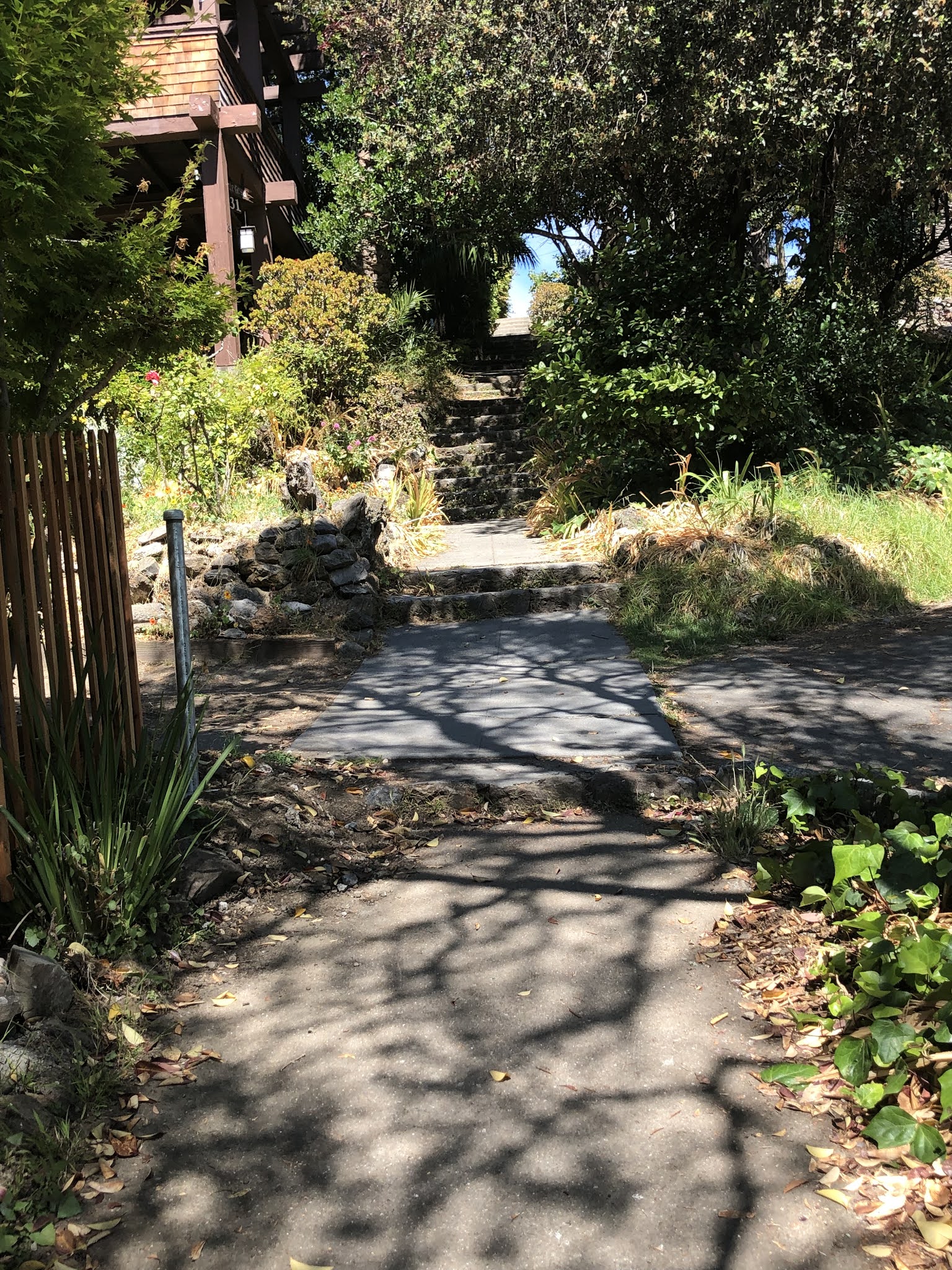
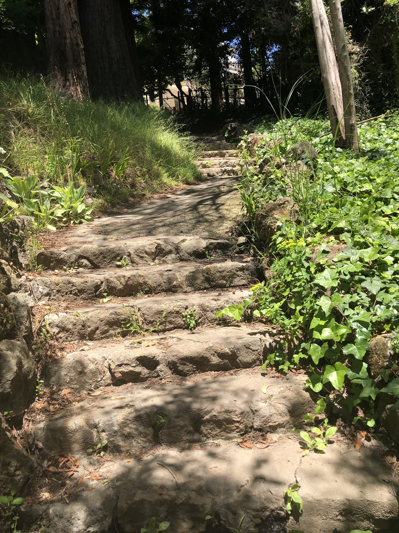
|
| Cragmont Area |
Moderate |
1 |
Billie Jean Walk, Sterling Path, Bret Harte Lane Path, Bret Harte Way |
| Upper And Lower Halkin Walk |
Moderate |
1 |
Upper Halkin Walk, Lower Halkin Walk, AltaVista Path, Florida Walk, Acacia Steps |
| Paths Above Tunnel Road |
Moderate |
1 |
Evergreen Path, Eucalyptus Path, Sunset Trail, Willow Walk |
| Both Sides Of Grizzly Peak |
Moderate |
1 1/4 |
Keeler Path, Betty Olds Path, Tilden Path, Atlas Path, Scott Newall Path, Stoddard Path, Poppy Path |
| Both Sides Of Tunnel Road |
Moderate |
1 |
Willow Walk, Sunset Trail, Eucalyptus Path, Evergreen Path, Short Cut, Oakridge Path |
| North On Euclid From Marin |
Moderate |
1 |
Rock Walk, Poplar Path, Acacia Walk, Acacia Steps, John Muir Path |
| College and Derby To Hills Around Claremont Ave |
Moderate |
1 1/4 |
Tanglewood Path, Oakridge Path, Claremont Path, South Crossways, The Steps |
| Rose Garden To Grizzly Peak And Back |
Hard |
1 1/2 |
Rose Walk, Northgate Path, Lower Glendale Path, Tilden Path, Stoddard Path, Shasta Path, Lower Stevenson Path, Whitaker path, Redwood Terrace |
| Down Marin From Hilldale |
Hard |
1 1/4 |
Upton Lane, Chester Lane, Santa Barbara Path, Boynton Walk, Maryland Walk, Holmes Path, Acacia Steps, North Path, Upper Halkin Walk |
| South On Hilldale From Marin (Shorter) |
Hard |
1 |
Poppy Path, Ina Coolbrith Path, Anne Brower Path, Stevenson Path, Shasta Path, Tilden Path, Stoddard Path |
| South On Hilldale From Marin (Longer) |
Hard |
1 1/4 or 2 |
Pinnacle Path, Keeler Path, Bret Harte Lane Path, Betty Olds path Whitaker path, Upper Covert path, Northgate Path, Lower Glendale Path, Upper Glendale Path, Columbia Walk, Wilson Walk, La Loma Path, Stevenson Path, Poppy Path |
| Three Sections Of Easter Way |
Hard |
1 |
Pinnacle Path, Upper El Mirador Path, Lower El Mirador Path, Oak Street Path, Easter Way |
| South On Hilldale From Marin-In Reverse |
Hard |
1 |
Stoddard Path, Tilden path, Shasta Path, Upper Stevenson Path, Anne Brower Path, Ina Coolbrith Path, Poppy Path |
| Ye Olde School Path |
Hard |
2 |
Ye Olde School Path, Public Path 6, Public path 9, Acacia Steps, Acacia Walk, AltaVista Path, Rock Walk |